
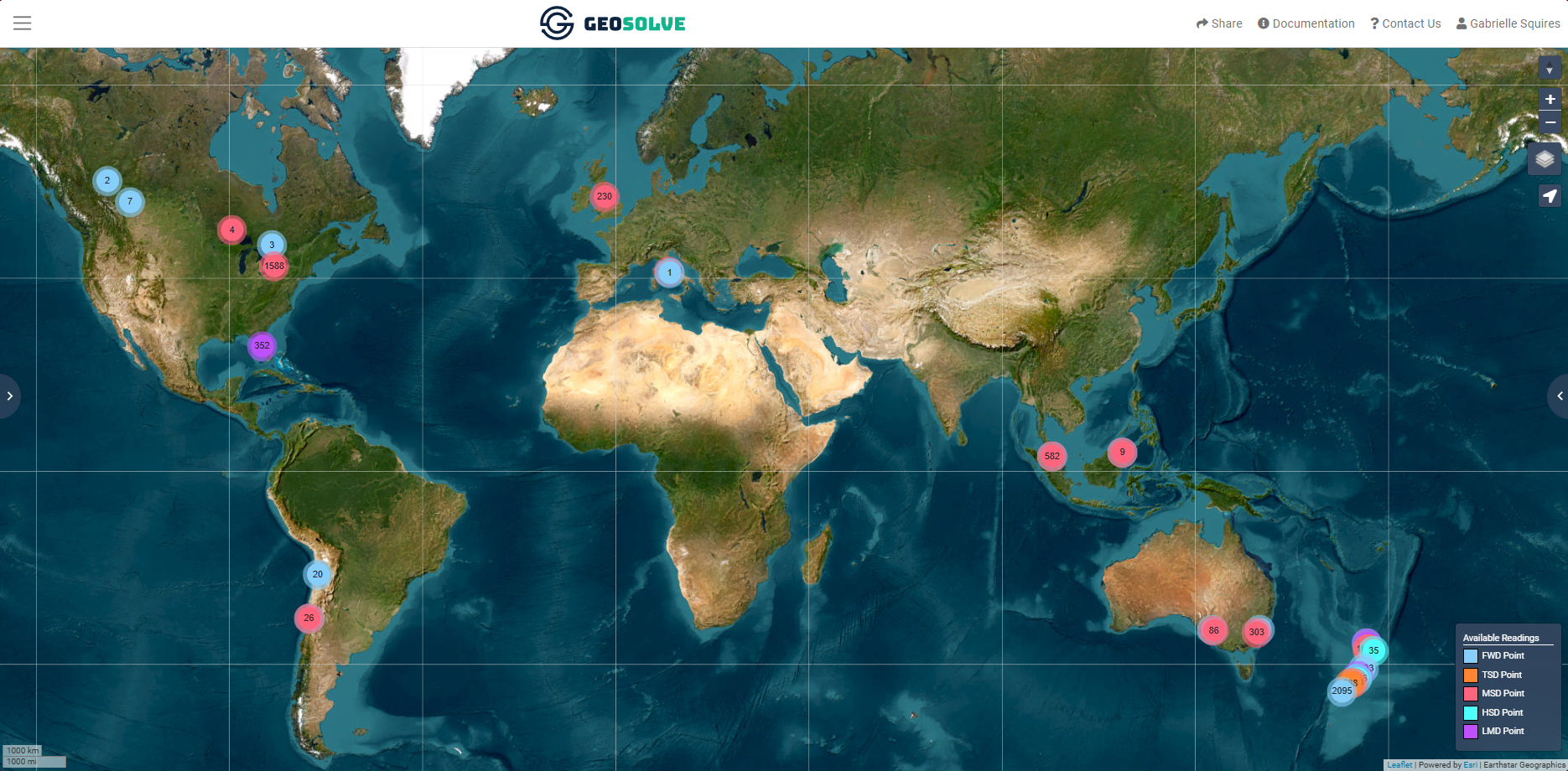
GeoSolve: Pavement Structural Survey data - Worldwide
PaveState - Online GIS-Viewer
PaveState is GeoSolve's online GIS platform for visualising, analysing, and sharing pavement structural survey data, processed in accordance with most traditional empirical or mechanistic-empirical standards to evaluate distress mechanisms and a suite of recognised designs or remedial solutions. Included complimentary with every structural survey, PaveState provides the necessary insight and enables asset managers, stakeholders, engineers, and contractors to access and interrogate data collected using FWD, TSD, and LMD technologies through an intuitive web-based graphical interface. Users can compare structural performance, generate PDF reports to support routine maintenance, preventive maintenance and rehabilitation decisions, using shared access with viewing permissions and customised formats for each network.
More information can be found at www.pavementanalysis.com-lmd
Introduction: